Image courtesy of lubright at Flickr.com
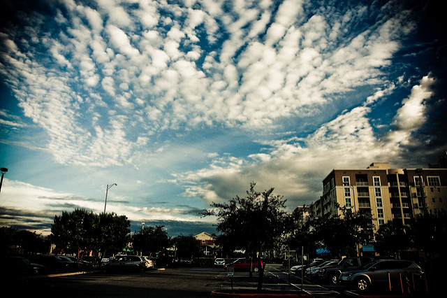
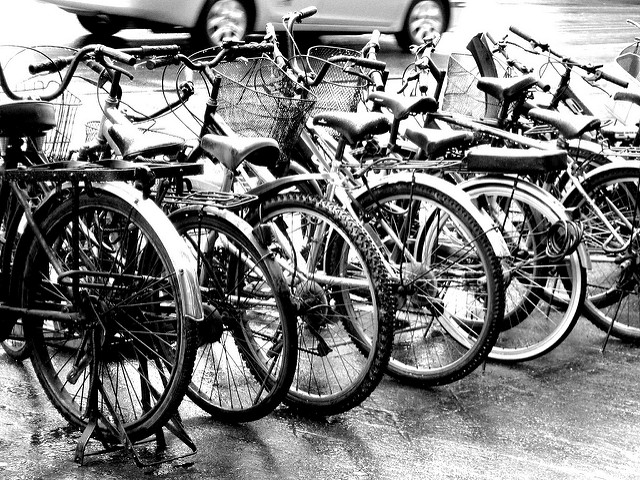
We depart from the Dadeland Mall, across the SW 88th Street and heading toward the US 1 through Dadeland Blvd, then turn right to reach the Busway. This area is in Kendall, one of the most populous districts in the county. Once we’re on our bike we’ll start riding southwest along the South Dade Trail, continuing to have the Kendall neighborhood on our right.
Other inhabited spots in the vicinity include the communities of Green Mar Acres, Hawley Heights, Palmetto Estates, Howard and Rockdale. Pinecrest is on the left.
Towards the coast there are enclaves such as Sunrise Harbor, Tahiti Beach, South Allapattah, and Franjo. At SW 136th Street / Howard Drive, we find one of the most famous and prestigious shopping centers in Miami, The Falls. On the opposite side we can find the backyards of the businesses located in the US 1. Going south, the landscape becomes increasingly less attractive. In many of these areas we will see rubble, scrap and agricultural machinery. From now on the opposite side of the South Dixie Highway remains prosperous and dazzling.
The next point on our route, before SW 152nd St / Coral Reef Drive is Richmond Heights, a community that was created by Frank C. Martin, a Pan American pilot.
As a counterpoint, on the opposite side of US 1 we have the Village of Palmetto Bay which was built in 2002 from the merger of the towns of East Perrine and Cutler. At this point the office buildings also abound near US 1 which were known a few years ago as the headquarters of Burger King. Later, there’s West Perrine, in the western part of the South Dixie Hwy.
At the SW 184th St / Eureka Dr, east of US 1, the Cutler Bay community begins. This place was originally called Cutler Ridge or just Cutler, thanks to its founder William C. Cutler who came to the area circa 1883. Here we can see another large shopping area of Miami, the Southland Mall. In the coastal part, we can find the Black Point Marina and further north the remnants of the original settlement, including the majestic Richmond Cottage, the old hotel. On the west side of the Dixie Highway we have the South Miami Heights neighborhood.
Then we will see the picturesque oasis of Cauley Square, located between Redlands and Goulds. Redlands or Redland is an area exclusively dedicated to agriculture where some of the emblematic buildings of the first settlers can still be seen. It is a point designated as a sanctuary of wild birds that inhabit the vast and varied fields and countless farms. Flower nurseries also abound. The name Redland comes from the fields of red colored clay on the ground. It is also common to see large houses with large yards and gardens, many with stables and cattle. Here stands the Silver Palm Historic District, another historic district settled early last century. Silver Palm is a variety of typical palm tree here. Meanwhile, Cauley Square is located in an area of ten acres starting at the intersection of Old Dixie Hwy and SW 224th St, right in front of the post office.
Goulds was originally a remote machinery and goods repository, and one more stop of the railway company. It currently is a neighborhood where life is difficult and problematic. Then comes Princeton, another place linked to the figure of Flagler and the railroad. Later we’ll find Modello, Leisure City and Homestead, a city dedicated to agriculture and named that way due to the Homestead Act signed by Abraham Lincoln in 1862 and those who came here claiming federal lands.
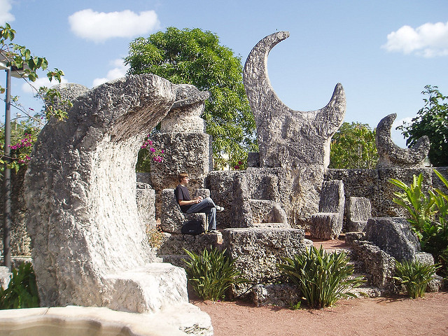
Image courtesy of lancearoundorlando at Flickr.com
When we get close to Biscayne Drive, SW 288th Street, we must look to our left. Then we will be fascinated by a castle made of huge rocks and coquina coral that was built by a single person using rudimentary tools. Ed Leedskalnin worked as an electrician by day and quasi alchemist at night, no one can explain how he was able to move heavy rocks without any help. There was never any witnesses, although a group of teenagers claimed they had seen as the stones floated in the air. The castle contains lots of rustic and fascinating compositions, and it opened to the public in 1923.
Finally, we arrive in Florida City, the southernmost city of the mainland peninsula and the ending point of the Florida Turnpike. The landscape has changed a lot in the last century. The ancient swamps were drained by canals and the huge dry fields have been used for agricultural purposes. Upon reaching the intersection of US 1 and Krome Ave we will have completed the first half of the trip. From here, we head back to the Dadeland Mall.
Finally, we arrive in Florida City, the southernmost city of the mainland peninsula and the ending point of the Florida Turnpike. The landscape has changed a lot in the last century. The ancient swamps were drained by canals and the huge dry fields have been used for agricultural purposes. Upon reaching the intersection of US 1 and Krome Ave we will have completed the first half of the trip. From here, we head back to the Dadeland Mall.
 RSS Feed
