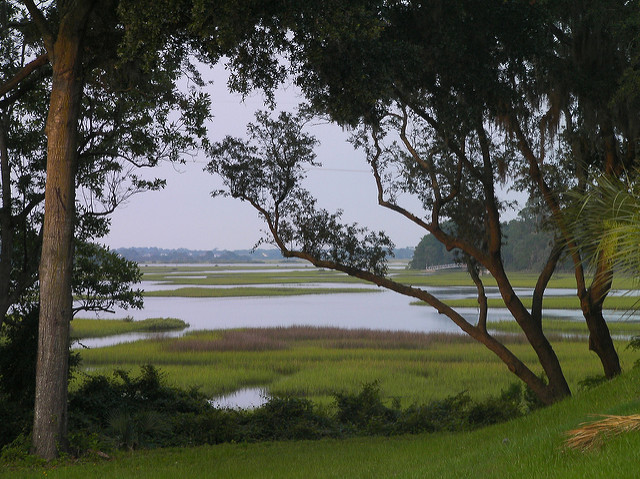
Image courtesy of Moultrie Creek at Flickr.com
Our trip will begin next to the Moultrie Creek, particularly in the Treaty Park, located in 1595 Wildwood Drive, west of the historic center in Saint Augustine. The name of this place refers to the "Treaty of Moultrie Creek," by which in 1823 the Creek tribes, mainly Seminoles represented by Neamathla, were detained by US authorities in a reserve of four million acres, in central Florida, away from the coast.
On our bike, we will go for three miles south through Wildwood Drive, always parallel to the winding Moultrie Creek. The landscape is full of vegetation and the atmosphere is very quiet, with houses scattered here and there. Soon, the street will eventually divert southeast and then east, ending at US 1 or Dixie Highway, also known as State Road 5. Now we’ll turn left as we slowly enter in an urban area that will progressively grow, especially, with shops and tourist attractions. So, we will pass by two villages, Saint Augustine Shores and Saint Augustine South. A bridge over the river marks the original site of the town of Moultrie. Meanwhile, we’ll be getting closer to The Ancient City.
After another three and a half miles we’ll reach the State Road 312, a place also full of shops and supermarkets. Heading west for a short stretch, the historic center will be behind us. Then we’ll first turn left onto SR 207 and immediately to the right at the South Holmes Blvd. From now on, the population density will drop considerably, giving way to a greener and more natural landscape as we’ll see ourselves surrounded in part by the Twelve Mile Swamp Conservation Area and the area of management of many wild species that has the same name. Here, pine forests and swamps predominate. At the same time, it is the birthplace of several rivers in the region such as the Red House Branch, the Turnbull, the Stokes, Mills, Sampson or Moultrie Creek itself. Then in the SR 16 / Charles Usina Memorial Highway, we’ll move west until we get to Interstate 95. Traffic at this intersection is always busy because beside it is the enormous Saint Augustine Premium Outlets mall.
Just past the I-95, we turn to the left as we merge into the County Road 208 / Picolata Road. Immediately the shoulders and bike lanes disappear for almost the remainder of the journey but fortunately, from now on, the movement of vehicles will be very limited. Suddenly we will be among plantations, country houses and cattle farms. This territory has changed little over the centuries and the same settler families have been perpetuated in place.
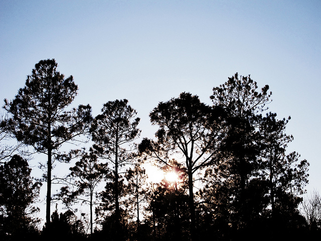
Image courtesy of AdamChandler86 at Flickr.com
The town we’ll visit next is Bakersville. North of the highway the Six Mile Creek flows, another one of the numerous tributary streams of the most important rivers in the area. Along with this and after eleven and a half miles, we will have reached the Saint Johns River, the river of San Juan del Puerto. It is the longest and mightiest of the peninsula and its name comes from one of the many missions that Spanish priests erected throughout the Sunshine State.
Here is Picolata, one of the oldest European settlements in the United States. The construction of the railway in the neighboring town of Tocoi, which we will see immediately south, gradually caused the villa to be forgotten.
On the asphalt, we’ll go to the left on County Road 13 under the shadows cast by thousands of oak trees with their branches covered by the almost surreal vision caused by the Spanish moss. We’ll ride along the river in front of incredible mansions and long jetties, tens of meters deep into the choppy waters. Shortly we will be in Tocoi. We’ll cross the tiny Watson Island State Forest, located in the space defined by the CR 13 and the river’s current. Then we’ll reach the paradisiacal and almost hidden enclaves on the coast of Riverdale or Racy Point and the Deep Creek Conservation Area, of about 5,400 acres. It is crisscrossed by several streams like such as the McCollough Creek.
After 17 miles we’ll merge with the SR 207 south for about 500 meters before turning left onto the East Coast Greenway, a green corridor on the old railways of Henry Flagler’s Florida East Coast Railway between Palatka and Saint Augustine. Along this stretch, completely oblivious to motorized traffic, we will be going through ghost towns and some sites by which trains once circulated. The first one, right at the intersection of SR 207 is Spuds, whose name comes from the fields of tubers covering most of its surface. Formerly it was called Holy Branch after the stream that cuts through it.
As we advance, posters with historical accounts tell us what life was like in these parts more than a century ago. Some stations such as Middleton, Smiths or Phelan are now visible only on old maps as they have disappeared completely. Elkton, established by B. Genovar and Vermont Heights, will be the last two before returning to the SR 207 on its northeast side, near the Weedman military fort, which was dedicated to Dr. Phillip Weedman, who was killed by a group of Indian rebels in 1839, as part of the second war against the Seminoles. As for our cycling route, we will go through I-95 again and just two miles later we’ll get to Wildwood Drive. Going south we’ll find the Treaty Park, where our journey will conclude.
Recent contents
Read Patrick Dwyer’s “Anastasia Island, a mystical destination for a bike ride”
 RSS Feed
